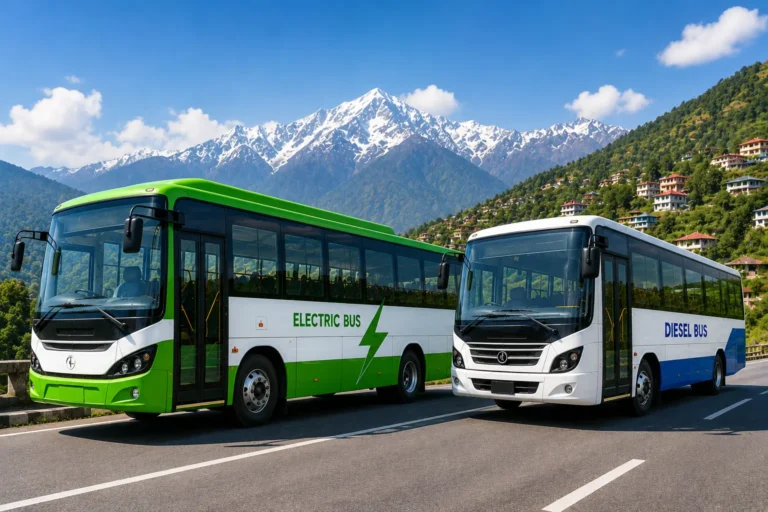


Manali and Shimla get all the attention, but they’re just two dots on a much bigger map. Himachal Pradesh has quiet valleys, forest villages, apple orchards, and high mountain passes that most tourists never see — partly because getting to them takes real planning, not just a booking on a travel app.
This guide covers 10 such places, with the practical details — distances, altitudes, road routes, permits, and rough costs — that you’ll actually need to plan a trip, not just admire from a listicle.
1. Barot – A Quiet Valley Built Around a 1920s Hydro Project
Altitude: 1,829 m (6,001 ft) | District: Mandi | Distance: 66 km from Mandi, 40 km from Jogindernagar, ~530 km from Delhi
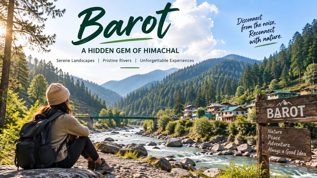
Barot sits in the Uhl River valley in Mandi district, and its origin story is more interesting than most hill-station brochures let on: the village was originally developed in the 1920s for the Shanan Hydro Project, and it stayed difficult to access until 1975, when a road was finally opened. Before that, it was reachable mainly by a British-era funicular trolley from Jogindernagar.
How to reach it: The most common route branches off the Mandi–Pathankot highway (NH-20) at Ghatasni, roughly 25 km from Barot itself, and the drive from Mandi town takes about 2.5 hours through dense cedar forest. If you’re coming by train, Jogindernagar is the nearest railhead, connected to Pathankot by a narrow-gauge line, from where it’s another 40 km by road or (historically) by trolley.
What to actually do there: Trout fishing in the Uhl River, short forest walks, and access to the Nargu Wildlife Sanctuary across the river, home to black bears, monal pheasants and ghorals. It’s also a starting point for the longer Bada Bhangal trek for those with more time and experience.
Best time: September to June — the monsoon months can bring landslides that block the access road, so many travellers deliberately avoid July–August here.
Best for: Slow travel, trout fishing, campers, and anyone road-tripping between Mandi and Bir-Billing.
2. Shoja – Base Camp for Jalori Pass, Not a Destination in Itself
Altitude: ~2,400 m | District: Kullu | Distance: ~500 km from Delhi, 5 km from Jalori Pass, ~50 km from Kullu airport
Shoja is honest about what it is: a small, sparsely-served village whose real draw is what’s around it. Accommodation options are limited, which is part of what keeps the place from feeling overrun.
How to reach it: Two road options exist. The more reliable one runs Delhi–Chandigarh–Bilaspur–Mandi–Aut–Banjar–Shoja; the shorter alternative via Shimla–Narkanda–Ani–Jalori Pass is more scenic but more exposed to landslides. The full drive from Chandigarh takes close to 10 hours.
Jalori Pass itself: sits at roughly 3,100–3,125 m, and is one of the closest high-altitude passes to Delhi, at around 520 km. From the road-head, the walk up to the pass viewpoint is short — around 1 km — but the real hikes branch out from there: a well-marked forest trail of 5–6 km leads to Serolsar Lake, and a steeper 3 km climb through oak and rhododendron forest reaches the ruins of Raghupur Fort at roughly 3,650 m.
When it’s closed: The pass shuts to vehicles by mid-to-late December and typically reopens only in March or April once the snow clears.
Best for: Couples, short treks, and travellers combining it with nearby Jibhi or Tirthan Valley on the same trip.
3. Janjehli – Green Pastures and a Trek to Shikari Devi
Altitude: ~1,900 m | District: Mandi | Distance: ~67 km from Mandi
Janjehli’s main pull is the trek to Shikari Devi temple, an ancient shrine on a forested ridge. The trail from Janjehli to Shikari Devi runs about 15 km and takes 5 to 6 hours, passing through thick blue pine and oak forest for most of the way. From the temple, experienced hikers can continue another 10 km to Kamru Nag, a lake-side temple site, in 3 to 4 hours, then descend either back to Janjehli or to Rohanda on the Karsog–Mandi road.
Good to know: Karsog, the nearest sub-divisional town, has direct bus connections to both Mandi and Shimla, which makes it a workable base if Janjehli’s own accommodation is full.
Best for: One-day treks, birdwatching, and travellers who want a trekking base without committing to a multi-day Himalayan expedition.
4. Churah Valley – Chamba’s Overlooked Neighbour
Sub-divisional HQ: Tissa | Distance: under 100 km from Dalhousie
Churah rarely appears on Chamba itineraries even though it’s close by. Tissa, the valley’s sub-divisional headquarters, is less than 100 km by road from Dalhousie, yet the area sees a fraction of Dalhousie’s footfall.
The valley is also the gateway to Sach Pass — one of the more demanding drivable passes in India. From Bairagarh, about 25 km from Tissa, the road climbs to Sach Pass at roughly 14,500 feet before dropping into the Chenab valley toward Killar, and these high passes are typically snow-free and open only between July and October.
Away from the pass, Churah’s appeal is its temples: Devi Kothi, dedicated to Chamunda Devi, is built in the traditional Kath-Kuni style — interlocking wood-and-stone construction designed to withstand earthquakes — and its walls carry Pahari-style murals believed to date to the 18th century.
Best for: Travellers who’ve already done Dalhousie/Khajjiar and want a rural extension without backtracking far.
5. Karsog Valley – Orchards, Temples, and Old Stone Architecture
Altitude: ~1,800 m | Distance: ~90 km from Shimla via the Tattapani route
Karsog is a working sub-divisional town surrounded by apple orchards, best known for a cluster of old temples — Mamleshwar Mahadev, Kamaksha Devi and Mahunag — built in traditional stone-and-timber style. It’s also close to Prashar Lake (about 50 km from Mandi, at 2,730 m), a genuinely striking high-altitude lake with a 7.5 km moderate trek option for those who don’t want to drive all the way.
Best for: Temple architecture, orchard drives, and pairing with Chindi (see below) on the same loop.
6. Chindi – The Village Before Karsog
Altitude: 1,850–1,860 m | Distance: ~90 km from Shimla, ~107 km from Mandi
Chindi sits about 90 km from Shimla and 107 km from Mandi, tucked inside Karsog Valley, roughly 7 km before Karsog town itself. It falls within the Chindi Wildlife Sanctuary belt, so the same forests that surround the apple orchards are also home to musk deer, Himalayan black bear and ghoral.
How to reach it: By air, the closest airport is Shimla (Jubbarhatti), about 110–120 km away; by rail, Shimla has a narrow-gauge line but poor onward connectivity, so Kalka is usually the more practical railhead. By road, the Shimla route via Tattapani and Chindi is shorter than the alternative via Sundernagar.
Best for: Slow travel, sunset views over the Pir Panjal range, and anyone who wants Himachal without the tourist infrastructure.
7. Churdhar – Sirmaur’s Highest Peak, and a Real Tre
Altitude: 3,647 m (11,965 ft) | Base villages: Nohradhar, Chopal, Haripurdhar
Churdhar is the highest point in Sirmaur district, and unlike most “trekking destinations” on tourism lists, it’s an actual trek, not a drive-up viewpoint. The peak can be approached from three routes — the short 7 km climb from Chopal, a longer roughly 50 km route from Haripurdhar, or a 20 km climb from Nohradhar, which is the most commonly used base.
The trailhead village, Nohradhar, is about 66 km from Solan, and the trek itself is typically done over two days with camping gear, climbing through Deodar forest, meadows used by Gujjar shepherds, and a final rocky ascent. On a clear day, the summit reportedly offers views stretching toward the Gangetic plains on one side and Himalayan peaks like Kinnaur Kailash on the other — which is reportedly the same vantage point George Everest once used to survey the western Himalayas.
Best time: Post-monsoon (September–November) or early summer; the peak carries snow for much of the year.
Best for: Fit trekkers who want a genuine two-day Himalayan trek within reach of Delhi over a long weekend.
8. Kinnaur – Villages, Orchards, and a Genuine Road Trip
Key stops: Sangla, Kalpa, Chitkul | Distance: roughly 235 km from Shimla
Kinnaur isn’t fully “hidden” — Kalpa and Chitkul show up on Instagram plenty — but it rewards travellers who treat it as a multi-day drive rather than a single stop. The Sutlej valley road runs through orchard country producing some of India’s best apples and apricots, with Chitkul standing as the last inhabited village before the old Indo-Tibet trade route.
Best time: April to October; winters bring temperatures well below freezing and can close sections of road.
Best for: Road-trippers, photographers, and travellers extending onward toward Spiti.
9. Pangi Valley – Remote, and Only Open a Few Months a Year
Valley HQ: Killar (~2,438 m) | Highest point en route: Sach Pass, 4,414–4,420 m | Distance: ~700 km from Delhi via Chamba
Pangi is genuinely remote, not marketing-remote. The valley sits in Chamba district with Killar as its headquarters at around 8,000 ft, and the region is open roughly June to September, with no permit required for domestic tourists. Route 1 (from Chamba): Chamba → Tissa → Bairagarh → Sach Pass → Killar. The distance from Chamba to Sach Pass is about 127 km, and from Chamba to Killar around 166 km, with the pass itself open from late June or early July to mid-October before winter snow closes it again.
Route 2 (from Manali side): via Keylong and Udaipur, roughly 130 km from Keylong — generally considered the gentler option, and many travellers enter by one route and exit by the other to avoid retracing the same road.
Realistic budget: A 7-day trip from Delhi typically runs Rs 8,000 to Rs 20,000 per person, and at least 4–5 days are needed inside the valley itself to see villages like Dharwas, Sural and Hundan properly.
Best for: Experienced road-trippers only — this isn’t a first-timer’s Himachal trip.
10. Tirthan Valley – The Quiet Gateway to the Great Himalayan National Park
Altitude: 1,600 m | District: Kullu | Distance: ~511 km from Delhi, 50 km from Bhuntar airport
Tirthan is the most “prepared for tourists” entry on this list, and the data backs it up. The valley sits at 1,600 m along the Tirthan River and forms the main gateway to the Great Himalayan National Park, a UNESCO World Heritage Site. Mobile network coverage effectively disappears past Gushaini village, which is either a feature or a drawback depending on what you’re looking for.
How to reach it: By road via Chandigarh–Mandi–Aut, then a roughly 35 km drive to Gushaini through Larji and Banjar. The nearest airport is Bhuntar, about 50 km away; the nearest broad-gauge railhead is Chandigarh.
Permits and rules that actually matter here: entering the GHNP core zone requires a permit, obtainable from the Wildlife Range Office at Sai Ropa near Gushaini or at Larji. Trout fishing requires a separate forest department licence, and the 2026 rules cap the catch and set a fishing season from March to October.
Best for: Multi-day treks into GHNP (options range from a 2-day Rolla trek to a 5–7 day Raktisar trek), trout fishing, and river-side homestays.
Quick Comparison
| Destination | Altitude | Distance from nearest hub | Best for |
|---|---|---|---|
| Barot | 1,829 m | 66 km from Mandi | Trout fishing, camping |
| Shoja | ~2,400 m | 5 km from Jalori Pass | Short treks, forest stays |
| Janjehli | ~1,900 m | 67 km from Mandi | Day treks to Shikari Devi |
| Churah | — | <100 km from Dalhousie | Temples, Sach Pass base |
| Karsog | ~1,800 m | 90 km from Shimla | Orchards, temples |
| Chindi | ~1,850 m | 107 km from Mandi | Slow travel |
| Churdhar | 3,647 m | 66 km from Solan (Nohradhar) | Real 2-day trek |
| Kinnaur | varies | 235 km from Shimla | Road trips |
| Pangi Valley | ~2,438 m (Killar) | 700 km from Delhi | Remote adventure |
| Tirthan Valley | 1,600 m | 511 km from Delhi | GHNP treks, fishing |